
| Coordinates: | 33° 12' 50.0" N 112° 15' 59.0" W 1494' (WGS84) (Google Maps) |
| Land Status: | Bureau of Land Management |
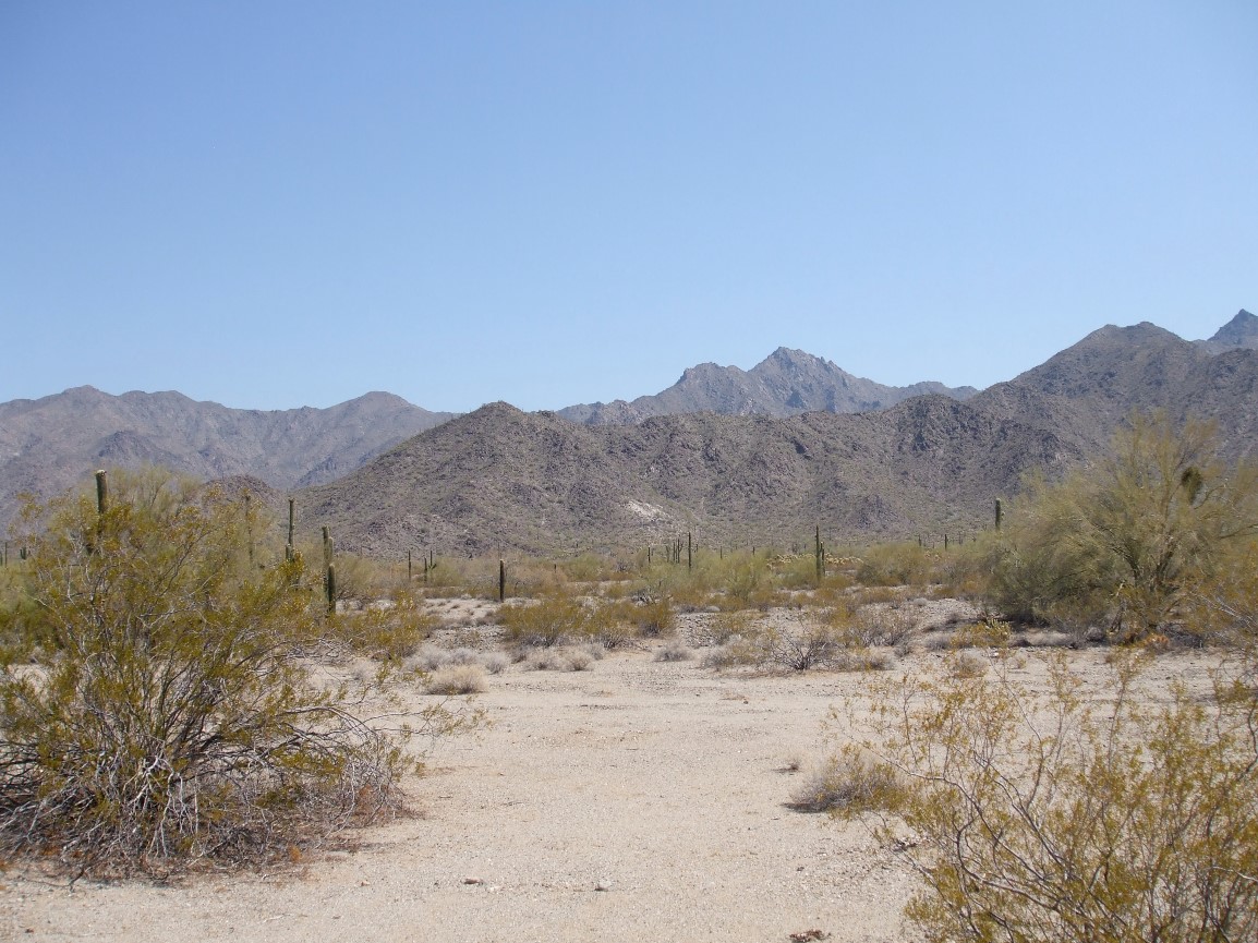
| Description: | At this locality within the Sierra Estrella Wilderness Area, pegmatite intrusion into a marble body apparently resulted in calc-silicate skarn formation. The most interesting rock from this locality is comprised entirely of quartz and nicely crystallized epidote (the given coordinates were taken at an outcrop of this rock). The pegmatite is easily visible as a large white spot on the mountainside in satellite or aerial imagery. Getting to the Sierra Estrella Wilderness Area can be somewhat confusing, so here are some directions. From I-10, take exit 126 for Estrella Parkway. Take Estrella Parkway south through the Estrella foothills, then turn right at W Elliot Road (in a residential / shopping area). Take Elliot Road for roughly 2.5 miles to Rainbow Valley Road and turn left. Take Rainbow Valley Road until the pavement ends (at Riggs Road). Turn left onto Riggs Road, which is paved in this section. Follow Riggs Road until a T at Bullard Ave. Turn right, then immediately turn left onto dirt tracks on the south side of a fence. This road is very sandy in places, so exercise caution. Follow this road past the defunct Rainbow Rancho to another road that parallels powerlines and turn right (south). Drive a few more minutes to where the road takes a noticable turn due south; park here, next to a large powerline tower. From this location, one can easily see the White Spot that marks the pegmatite. Approaching the area (or driving out of the area) via the powerline road from the south is not recommended; it becomes extremely rough further to the south. |
| Resources: | Geology and Mineral Resources of the Sierra Estrella (Arizona Geological Survey) |
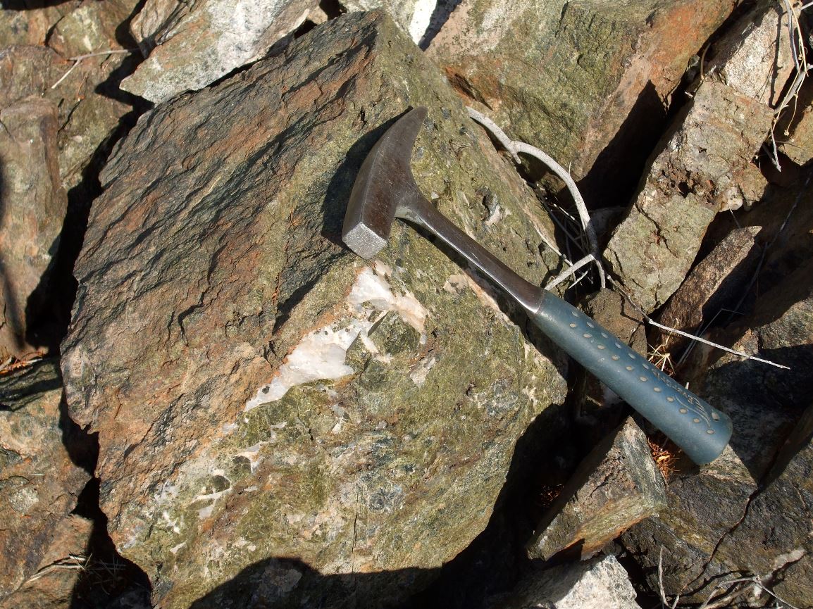 Epidote-Quartz Rock |
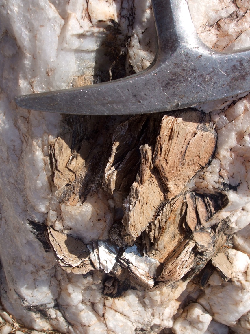 Muscovite Books in Pegmatite |
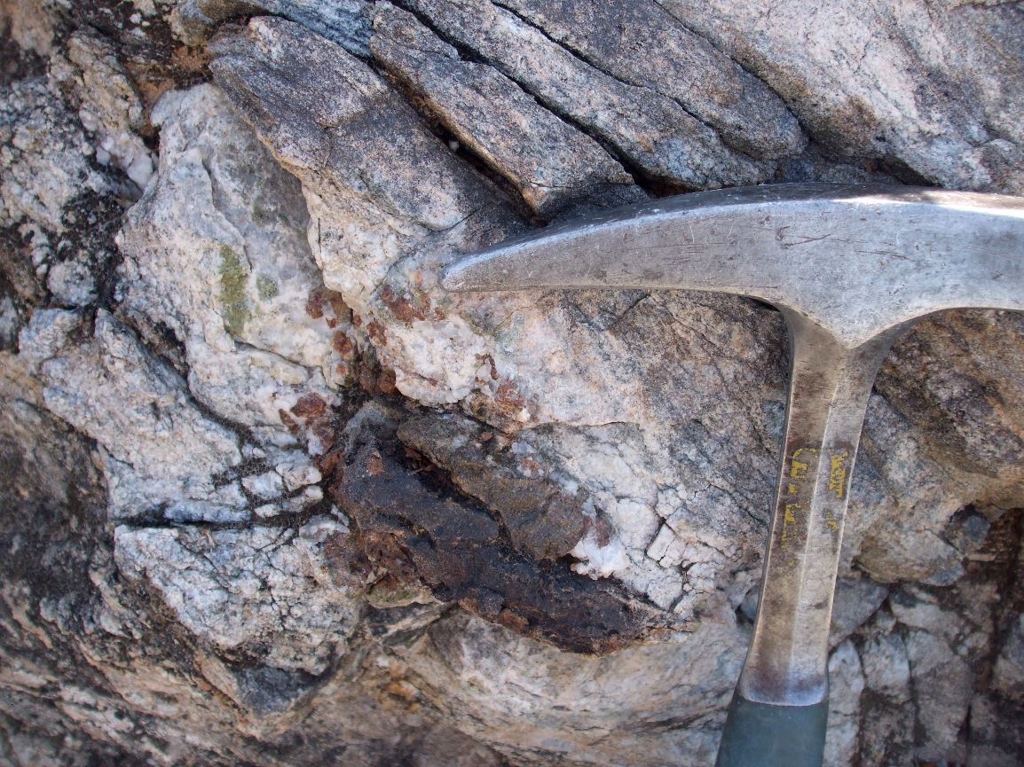 Calc-Silicate Pod |
The 'White Spot' |
| Site visited on 6/25/2011 | Page created on 11/15/2014 |