
 |
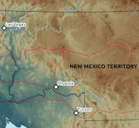 |
Maps of Arizona and New Mexico Terrorities over time. |
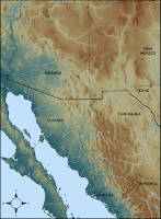 |
Map of current country and state boundaries in the southwestern United States and adjacent Mexico. Useful reference when considering historical geography, especially in the context of the notes below. |
 |
Annotated Chapters 1-4, with accompanying maps, of Across America and Asia by Raphael Pumpelly. An interesting personal account of life in southern Arizona immediately before the Civil War. |
 |
Notes and maps to accompany On the Border With Crook, by John G. Bourke. |
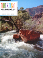 |
Arizona Highways, February 1959. Includes A Trip to Skeleton Cave, by Daniel Joseph Bangs and Donald Bangs. Interesting article about geographic location of the Battle of Salt River Canyon. |
Map data sources: Relief basemap from the USGS. Historical territory and state boundaries from IPUMS National Historical Geographic Information System. Small-scale datasets from Natural Earth.
Back to Rocking with the Rocks
Page modified on 4/5/2020