
| Coordinates: | 642516 mE 4319877 mN 1047 m (UTM17N NAD83) (Google Maps) |
| Land Status: | Monongahela National Forest |
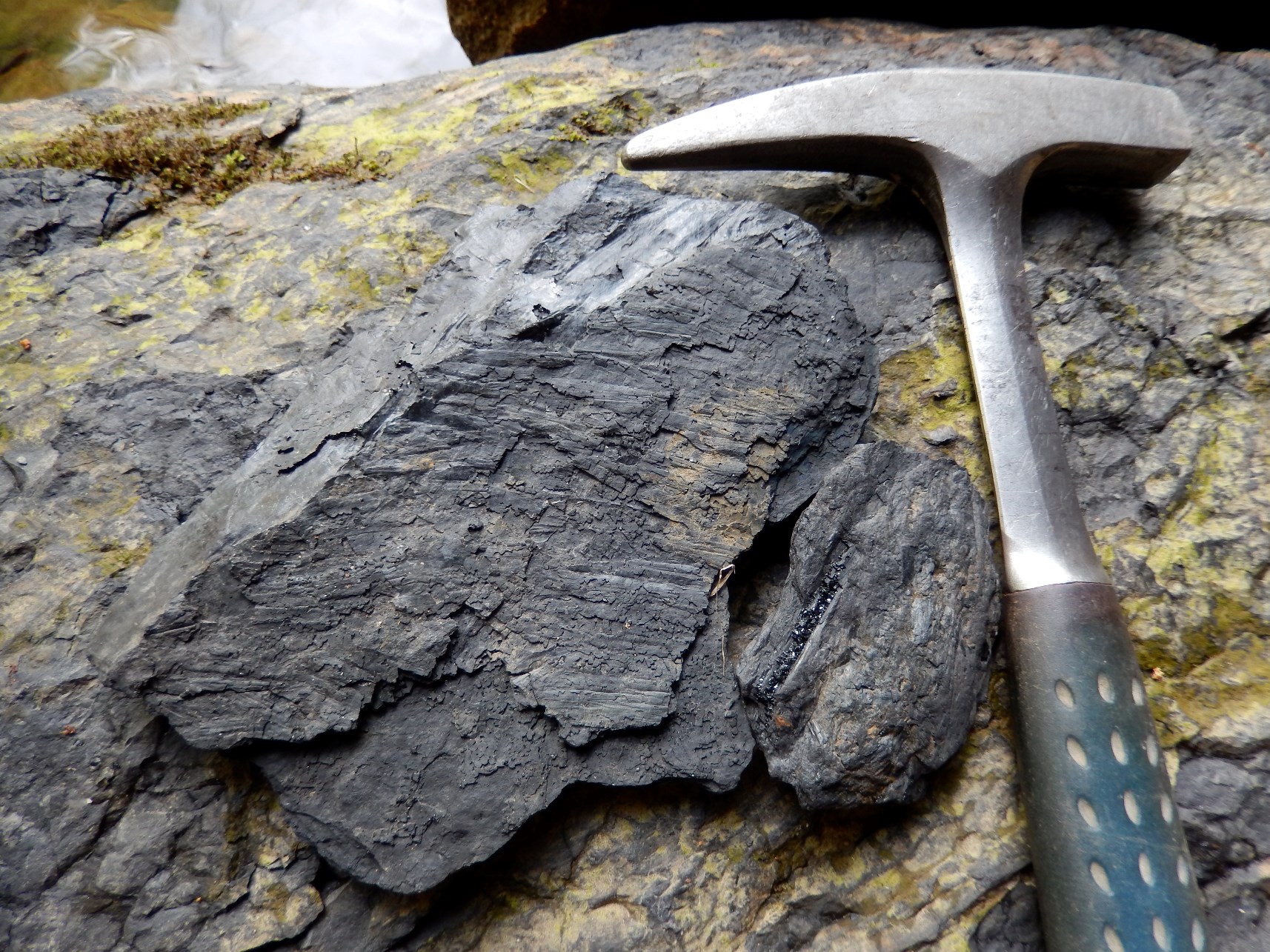
| Description: | One of the most spectacular waterfalls in Dolly Sods is also a very interesting geologic locality. Not only can one walk behind the waterfall (due to differential erosion between the black shale / coal and the overlying sandstone), but in walking behind the waterfall one can find abundant plant fossils (leaf imprints and root/stalk casts) and thin coal beds. One can also find three-dimensional fossils in which the original plant material has been completely turned to coal. While the fossils are not while preserved, the fact that the outcrop is underneath / behind a waterfall makes the locality definitely worth a visit. The waterfall can be easily accessed by walking south along Red Creek from the Forks (the junction of the two forks of the creek). By staying along the west bank (the right side when facing down-stream), one will only need to briefly leave the stream twice, once about halfway to the waterfall (briefly head up into the rhododendron-choked bank, then return to the creek as soon as possible) and once at the waterfall in order to get around the drop (there is a vague trail here that surmounts a few large sandstone blocks before dropping back to the creek). The distance from the Forks to the waterfall is roughly a quarter of a mile. These rocks are part of the Pennsylvanian Pottsville Group. They were deposited at the base of the tall peaks of the Alleghenian Orogeny (the third and final phase of Appalachian mountain building). |
| Resources: | Mineral Resources of the Dolly Sods Wilderness Area (USGS Bulletin 1483-A) |
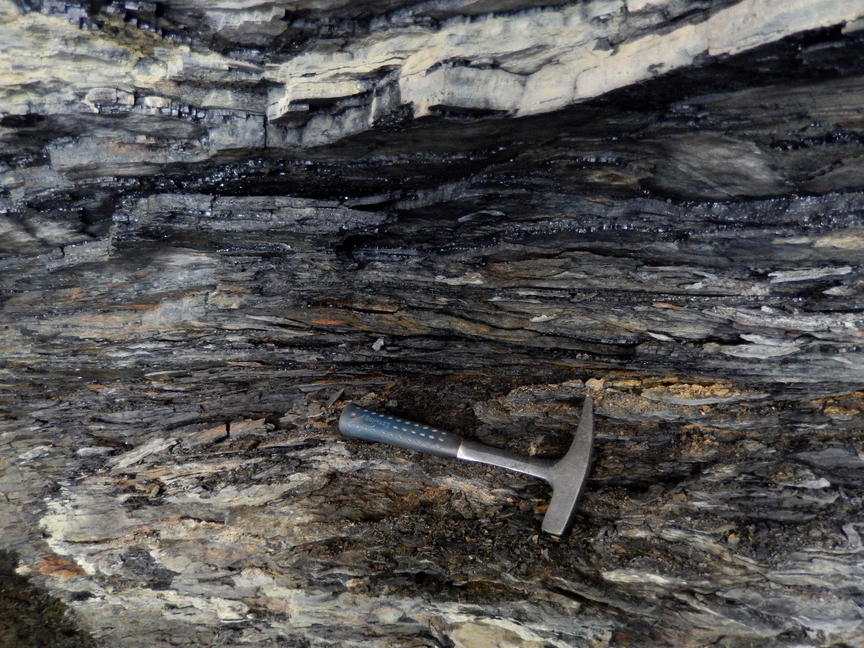 Coal Seam Under the Waterfall |
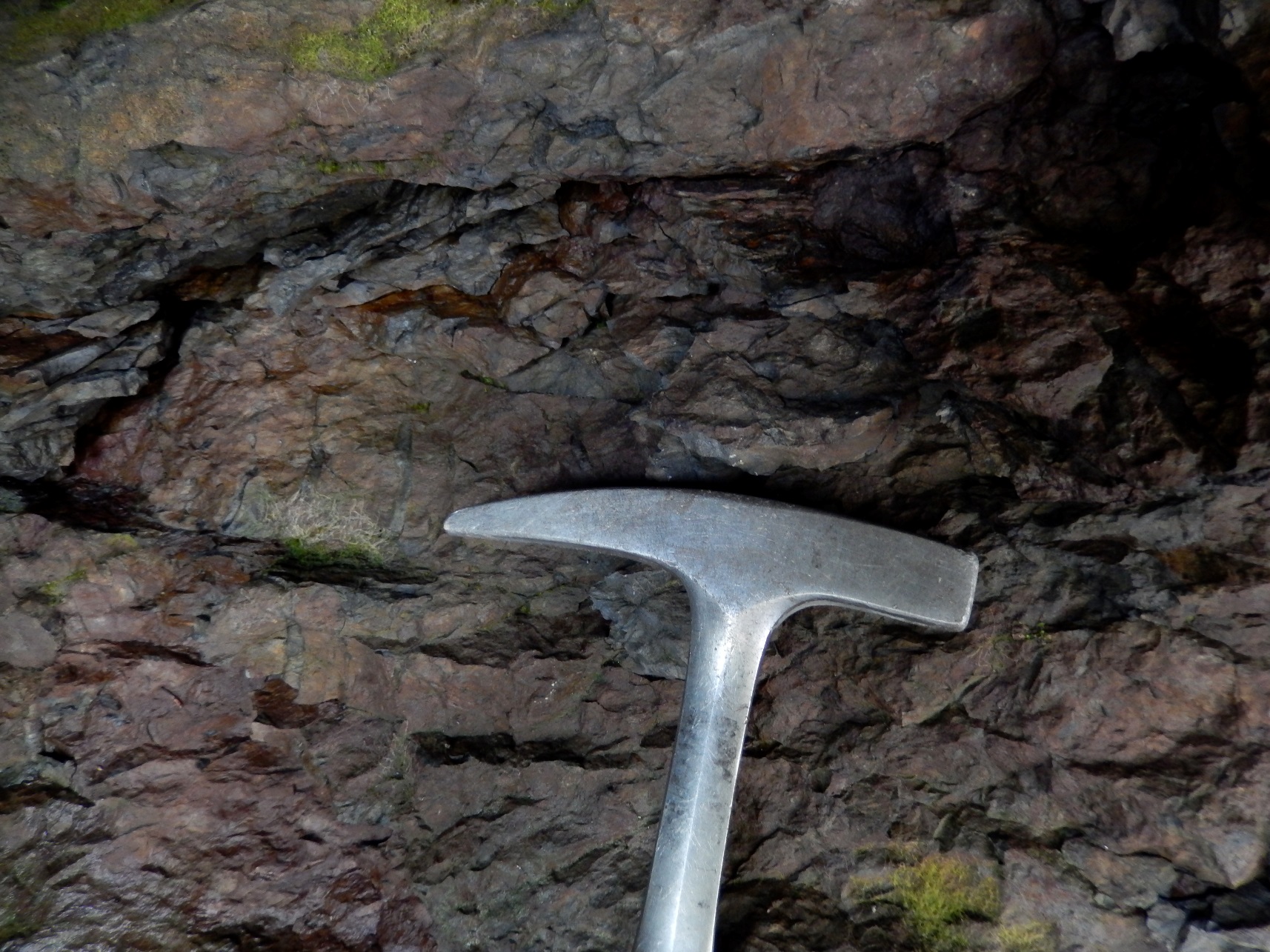 Plant Root Casts |
Plant Fossils |
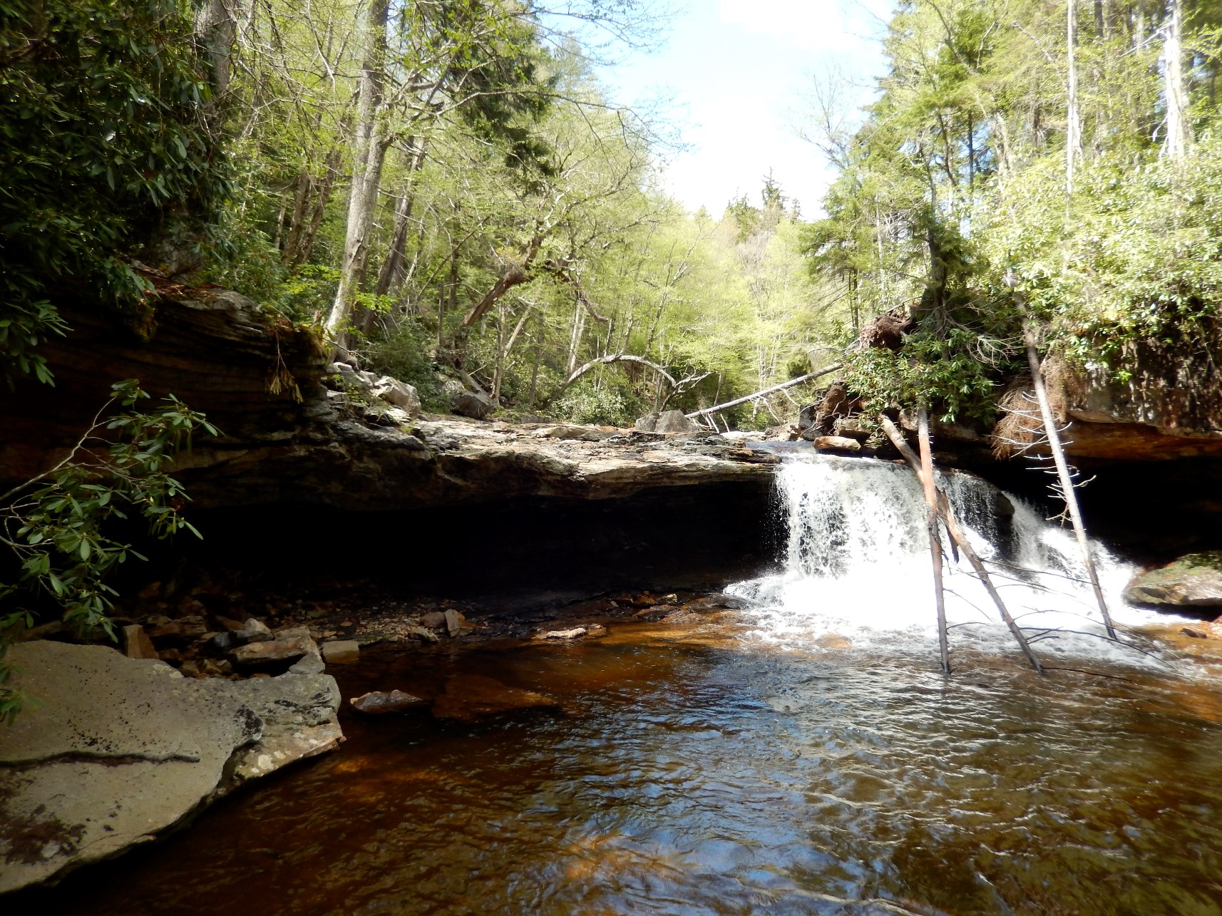 The Waterfall |
| Site visited on 5/24/2014 | Page created on 11/15/2014 |