
| Coordinates: | 34° 16' 35.5" N 112° 16' 46.2" W 3962' (WGS84) (Google Maps) |
| Land Status: | Prescott National Forest |
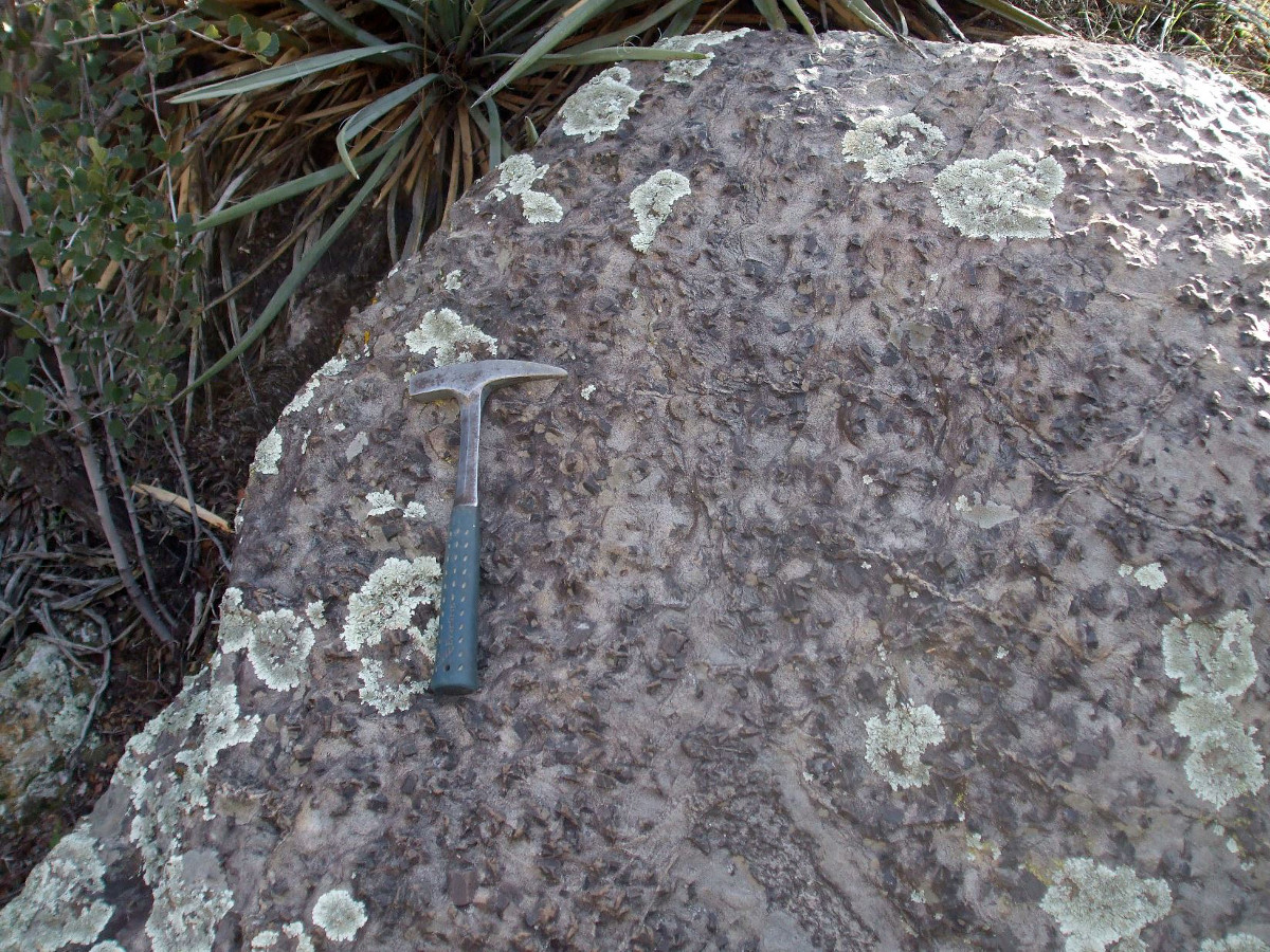
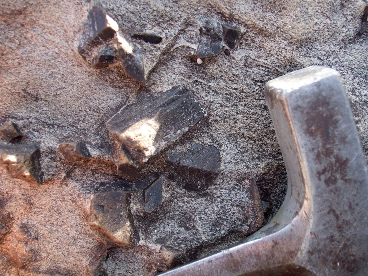
| Description: | Staurolite porphyroblasts with small garnets are found in mica schist west of Cleator, Arizona. The coordinates were taken at a readily accessible outcrop at the former site of the Middleton mining camp. (The camp served the De Soto Mine, the remains of which can still be seen on the mountainside above this locality.) The host schist, which is composed of metamorphosed volcaniclastic sedimentary rocks, is Paleoproterozoic in age (1.8-1.7 billion years old). The original sedimentary rocks were deposited in the ocean around a juvenile volcanic arc, which would have been similar to the modern Philippine Islands or Sumatra. |
| Resources: | Geologic Map and Proterozoic Structure of Crazy Basin Area, Yavapai County, Arizona (Arizona Geological Survey) |
|
 |
| Site visited on 1/11/2011 | Page created on 11/15/2014 |